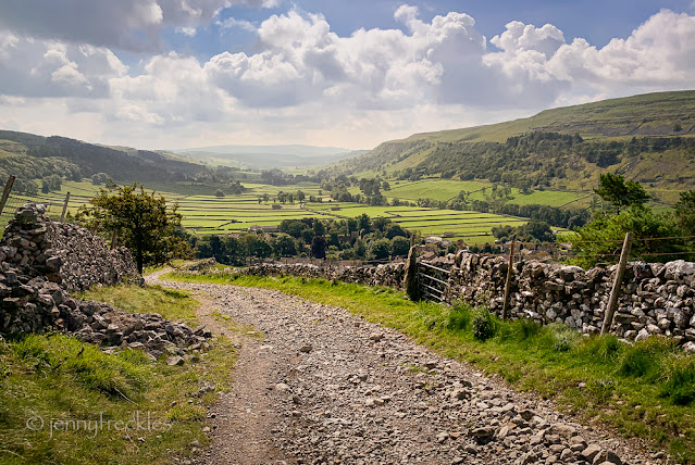
Top Mere Road, the track uphill from Kettlewell, was a steady climb. Looking back there were good views south along Upper Wharfedale, though it looks hazy as the sun was directly into my eyes and lens. My geography teacher would have been ecstatic over the clearly U-shaped valley, gouged out by glaciers.
I've marked the walk in red. Where the map says 'shake holes', that is a feature of limestone landscapes like this. Shake holes are depressions in the ground formed by water washing the surface clay into the fissures in the underlying limestone, so that the ground level sags.
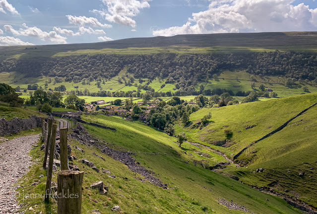
I didn't go right to the top of Top Mere, instead branching off on another path to skirt the hill and then drop down into Starbotton along Starbotton Cam Road, another ancient track. Views were glorious. It was a warm, sunny day with little wind, almost too warm for walking.
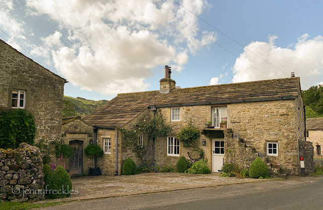
Partway down the track the hamlet of Starbotton comes into view. It has about 60 houses; many of them are now holiday lets. It also has a small pub, the Fox and Hounds - and that was open. Hooray! So I was able to have a rest and a cool drink in the little beer garden before returning to Kettlewell. Some of the houses in Starbotton look very attractive. I wondered why the one in my photo below has an external stair. I think in times past many rural buildings had more than one use, with part being for accommodation and part for storage or animals.


Oh, that first photo! Magic!
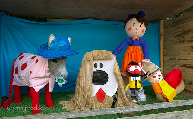
ReplyDeleteWonderful views all...and cute little puppets...good imagination there!
ReplyDeleteFabulous views. It looks like a really long hike, Jenny.
ReplyDeleteThe roadway looks ancient.
ReplyDelete