It's always a vulnerable spot further upstream by Hirst Weir and the Rowing Club (below), as Lode Pit Beck joins the Aire here. The banking by the weir is quite low and the whole area quickly gets inundated. You can just see the handrail of what is normally the footbridge over the beck. I suppose to an extent it is designed to be like that; allowing flooding on this side relieves the pressure against the old mill on the other bank, which is now residential property.
The footpath through the nature reserve was awash - but this is designated flood plain and the houses above are elevated, hopefully high enough to be safe.
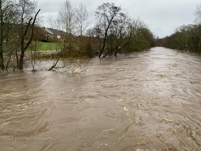
The power of the water was terrifying, but the river level was still well below the footbridge across the Aire, where I stood to take the picture below.
At the time I was exploring, the flooding wasn't as bad as the record floods of 2015, and was similar to those after Storm Ciara in 2020, but the rain was still falling and there was much more water to come down from the higher reaches of the river in the Dales. In the hour I was out, the water level in the park had come much higher, creeping up towards the Half Moon Café.


Oh my goodness! That tree, when it does break free, may cause damage to some downstream bridges...though of course I hope not. Very true, climate crisis photos these are. Sad.
ReplyDeleteMy friend in Cromer sent me a video of his garden being blown around yesterday. It was quite scary.
ReplyDeleteAlways an anxious sight, that high water.
ReplyDelete